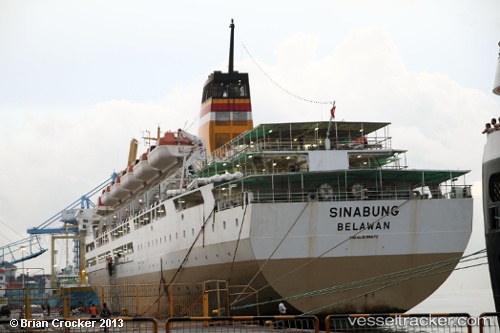
 Mv. Sinabung
Current Status
Where is the vessel?
Mv. Sinabung is currently in 61 nm W of Wamsasi, based on AIS data received about 19h ago.
Latest AIS update:
Current position: 3.75325° S, 125.16794° E (61 nm W of Wamsasi)
Average speed (last 7 days): Loading…
Average speed (last 30 days): Loading…
Vessel profile: Mv. Sinabung is a Passenger Ship with dimensions 146m x 22m.
This page combines live AIS, route history, probable destination signals, nearby traffic, and port activity for practical vessel monitoring.
The current position of vessel Mv. Sinabung is -3.75325 lat / 125.16794 lng. Updated: 2026-05-22 12:25:49 UTCNearest reference points:
- 69 nm NW of Wainibe
- Near Labuan
- 55 nm S of Labuha, Molucas
Currently sailing under the flag of Indonesia ![]()
Mv. Sinabung built in 1997 year
Deadweight:
3485 tDetails:
Live Vessel Mv. Sinabung Analytics (details, animations, etc.)
Recent AIS points (UTC):
2026-05-22 12:25:49 UTC · -3.75325, 125.16794 · SOG 14.6 kn · COG -1°2026-05-22 12:25:49 UTC · -3.75325, 125.16794 · SOG 14.6 kn · COG -1°
2026-05-22 12:25:49 UTC · -3.75325, 125.16794 · SOG 14.6 kn · COG -1°
2026-05-22 12:25:49 UTC · -3.75325, 125.16794 · SOG 14.6 kn · COG -1°