 vesseltracker.com
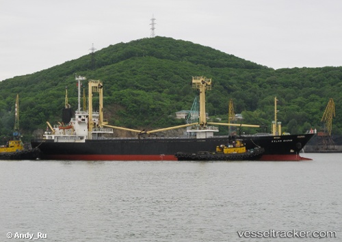
 HAMMER
Current Status
Where is the vessel?
HAMMER is currently in Near Oye-Plage, based on AIS data received about 15h ago.
Latest AIS update:
Current position: 51.07296° N, 1.93006° E (Near Oye-Plage)
Average speed (last 7 days): Loading…
Average speed (last 30 days): Loading…
Vessel profile: HAMMER is a General Cargo Ship with dimensions 16m x 94m.
This page combines live AIS, route history, probable destination signals, nearby traffic, and port activity for practical vessel monitoring.
The current position of vessel HAMMER is 51.07296 lat / 1.93006 lng. Updated: 2026-05-18 07:50:56 UTCNearest reference points:
- Near Calais
- 15 nm E of RAMSGATE
- 14 nm SE of RAMSGATE
Currently sailing under the flag of Panama ![]()
HAMMER built in 1998 year
Deadweight:
4902 tDetails:
Live Vessel HAMMER Analytics (details, animations, etc.)
Recent AIS points (UTC):
2026-05-18 04:49:06 UTC · 51.05123, 1.79421 · SOG 8.5 kn · COG 87°2026-05-18 05:33:35 UTC · 51.07303, 1.92662 · SOG 2 kn · COG 75°
2026-05-18 07:36:03 UTC · 51.07365, 1.93006 · SOG 0 kn · COG 65°
2026-05-18 07:50:56 UTC · 51.07296, 1.93006 · SOG 0.6 kn · COG 40°