 Maxi
Maxi
Current Status
Where is the vessel?
Maxi is currently in 12 nm NE of San Cataldo, based on AIS data received about 15h ago.
Latest AIS update:
Current position: 40.55050° N, 18.45483° E (12 nm NE of San Cataldo)
Average speed (last 7 days): Loading…
Average speed (last 30 days): Loading…
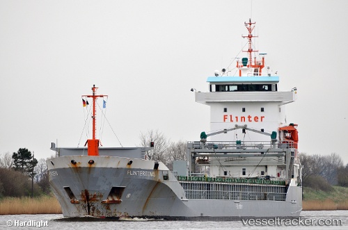
Vessel profile: Maxi is a Multi Purpose Carrier with dimensions 112m x 112m.
This page combines live AIS, route history, probable destination signals, nearby traffic, and port activity for practical vessel monitoring.
The current position of vessel Maxi is 40.55050 lat / 18.45483 lng. Updated: 2026-05-21 11:36:17 UTCNearest reference points:
- Near Porto Di Brindisi
- 22 nm W of Fier
- 11 nm S of Leuca
Currently sailing under the flag of Antigua Barbuda ![]()
Maxi built in 1999 year
Deadweight:
6359 tDetails:
Live Vessel Maxi Analytics (details, animations, etc.)
Recent AIS points (UTC):
2026-05-21 07:51:28 UTC · 40.13200, 18.96750 · SOG 9.2 kn · COG 318°2026-05-21 09:47:49 UTC · 40.34817, 18.70033 · SOG 9.2 kn · COG 319°
2026-05-21 11:05:58 UTC · 40.49450, 18.52183 · SOG 9.1 kn · COG 318°
2026-05-21 11:36:17 UTC · 40.55050, 18.45483 · SOG 8.9 kn · COG 317°