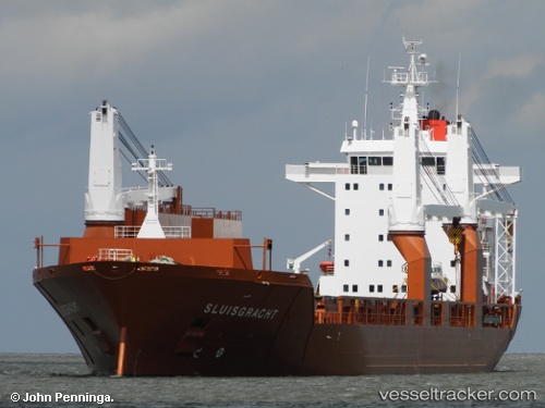
 Sluisgracht
Current Status
Where is the vessel?
Sluisgracht is currently in Near Talleyrand, based on AIS data received about 14h ago.
Latest AIS update:
Current position: 30.34858° N, 81.62101° W (Near Talleyrand)
Average speed (last 7 days): Loading…
Average speed (last 30 days): Loading…
Vessel profile: Sluisgracht is a Multi Purpose Carrier with dimensions 173m x 25m.
This page combines live AIS, route history, probable destination signals, nearby traffic, and port activity for practical vessel monitoring.
The current position of vessel Sluisgracht is 30.34858 lat / -81.62101 lng. Updated: 2026-05-19 08:04:43 UTCNearest reference points:
- Near Jacksonville
- Near Ponte Vedra
- Near Fernandina
Currently sailing under the flag of Netherlands ![]()
Sluisgracht built in 2001 year
Deadweight:
21250 tDetails:
Live Vessel Sluisgracht Analytics (details, animations, etc.)
Recent AIS points (UTC):
2026-05-19 04:34:43 UTC · 30.34858, -81.62104 · SOG 0 kn · COG 190°2026-05-19 06:19:43 UTC · 30.34858, -81.62103 · SOG 0 kn · COG 190°
2026-05-19 07:16:43 UTC · 30.34858, -81.62101 · SOG 0 kn · COG 190°
2026-05-19 08:04:43 UTC · 30.34858, -81.62101 · SOG 0 kn · COG 190°