 PORT CAPRI
Current Status
Where is the vessel?
PORT CAPRI is currently in 13 nm W of Myrties Kalymnou, based on AIS data received about 14h ago.
Latest AIS update:
Current position: 36.96048° N, 26.64599° E (13 nm W of Myrties Kalymnou)
Average speed (last 7 days): Loading…
Average speed (last 30 days): Loading…
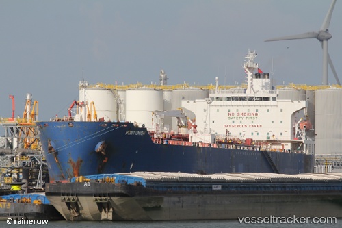
Vessel profile: PORT CAPRI is a Oil/Chemical Tanker with dimensions 183m x 32m.
This page combines live AIS, route history, probable destination signals, nearby traffic, and port activity for practical vessel monitoring.
The current position of vessel PORT CAPRI is 36.96048 lat / 26.64599 lng. Updated: 2026-05-19 07:03:38 UTCNearest reference points:
- 18 nm SW of PATMOS
- Near KALYMNOS
- Near PATMOS
Currently sailing under the flag of Turkey ![]()
PORT CAPRI built in 2003 year
Deadweight:
46256 tDetails:
Live Vessel PORT CAPRI Analytics (details, animations, etc.)
Recent AIS points (UTC):
2026-05-19 03:49:28 UTC · 37.39885, 25.98338 · SOG 13.2 kn · COG 123°2026-05-19 04:29:47 UTC · 37.31504, 26.13586 · SOG 13.2 kn · COG 122°
2026-05-19 05:49:38 UTC · 37.14809, 26.43106 · SOG 12.9 kn · COG 127°
2026-05-19 07:03:38 UTC · 36.96048, 26.64599 · SOG 12.9 kn · COG 169°