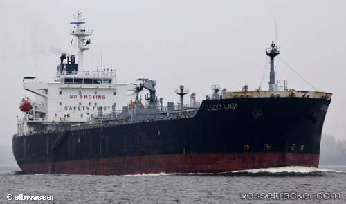
 Lucky Lady
Current Status
Where is the vessel?
Lucky Lady is currently in Near MISURATA, based on AIS data received about 14h ago.
Latest AIS update:
Current position: 32.36453° N, 15.21477° E (Near MISURATA)
Average speed (last 7 days): Loading…
Average speed (last 30 days): Loading…
Vessel profile: Lucky Lady is a Chemical Oil Products Tanker with dimensions 176m x 31m.
This page combines live AIS, route history, probable destination signals, nearby traffic, and port activity for practical vessel monitoring.
The current position of vessel Lucky Lady is 32.36453 lat / 15.21477 lng. Updated: 2026-05-19 06:02:53 UTCNearest reference points:
- Near MISURATA
- 22 nm NW of Tarabulus
Currently sailing under the flag of Malta ![]()
Lucky Lady built in 2005 year
Deadweight:
37432 tDetails:
Live Vessel Lucky Lady Analytics (details, animations, etc.)
Recent AIS points (UTC):
2026-05-19 01:50:52 UTC · 32.36449, 15.21482 · SOG 0 kn · COG 359°2026-05-19 03:56:53 UTC · 32.36454, 15.21480 · SOG 0 kn · COG 359°
2026-05-19 04:11:50 UTC · 32.36453, 15.21479 · SOG 0 kn · COG 359°
2026-05-19 06:02:53 UTC · 32.36453, 15.21477 · SOG 0 kn · COG 359°