 HAZAR
HAZAR
Current Status
Where is the vessel?
HAZAR is currently in 26 nm N of Port Said, based on AIS data received about 14h ago.
Latest AIS update:
Current position: 31.69001° N, 32.27524° E (26 nm N of Port Said)
Average speed (last 7 days): Loading…
Average speed (last 30 days): Loading…
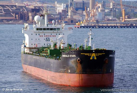
Vessel profile: HAZAR is a Oil Products Tanker with dimensions 182m x 27m.
This page combines live AIS, route history, probable destination signals, nearby traffic, and port activity for practical vessel monitoring.
The current position of vessel HAZAR is 31.69001 lat / 32.27524 lng. Updated: 2026-05-20 22:13:21 UTCNearest reference points:
- 21 nm N of Port Said
- 16 nm N of Port Said
- 15 nm N of Port Said
Currently sailing under the flag of Panama ![]()
HAZAR built in 2005 year
Deadweight:
37270 tDetails:
Live Vessel HAZAR Analytics (details, animations, etc.)
Recent AIS points (UTC):
2026-05-20 17:58:21 UTC · 31.69002, 32.27532 · SOG 0.1 kn · COG 291°2026-05-20 19:28:21 UTC · 31.69012, 32.27535 · SOG 0.1 kn · COG 289°
2026-05-20 21:43:21 UTC · 31.68991, 32.27526 · SOG 0 kn · COG 296°
2026-05-20 22:13:21 UTC · 31.69001, 32.27524 · SOG 0.3 kn · COG 297°