 vesseltracker.com
 Martha A
Current Status
Where is the vessel?
Martha A is currently in Near Tusdeer Free Zone, based on AIS data received about 14h ago.
Latest AIS update:
Current position: 21.48550° N, 39.15428° E (Near Tusdeer Free Zone)
Average speed (last 7 days): Loading…
Average speed (last 30 days): Loading…
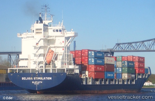
Vessel profile: Martha A is a Container Ship with dimensions 207m x 30m.
This page combines live AIS, route history, probable destination signals, nearby traffic, and port activity for practical vessel monitoring.
The current position of vessel Martha A is 21.48550 lat / 39.15428 lng. Updated: 2026-05-18 04:12:27 UTCNearest reference points:
- Near Jeddah
- Near Tusdeer Free Zone
- 10 nm SW of Jeddah
Currently sailing under the flag of Turkey ![]()
Martha A built in 2005 year
Deadweight:
33796 tDetails:
Live Vessel Martha A Analytics (details, animations, etc.)
Recent AIS points (UTC):
2026-05-17 23:39:29 UTC · 21.48398, 39.15440 · SOG 0 kn · COG 350°2026-05-18 02:18:24 UTC · 21.48550, 39.15430 · SOG 0 kn · COG 350°
2026-05-18 03:54:25 UTC · 21.48393, 39.15450 · SOG 0 kn · COG 350°
2026-05-18 04:12:27 UTC · 21.48550, 39.15428 · SOG 0 kn · COG 350°