 Tinos
Tinos
Current Status
Where is the vessel?
Tinos is currently in 11 nm S of Praia, based on AIS data received about 14h ago.
Latest AIS update:
Current position: 14.72866° N, 23.45331° W (11 nm S of Praia)
Average speed (last 7 days): Loading…
Average speed (last 30 days): Loading…
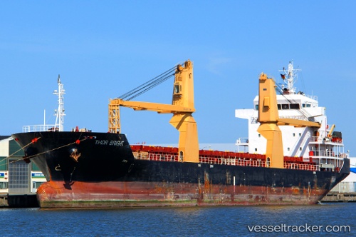
Vessel profile: Tinos is a Multi Purpose Carrier with dimensions 116m x 18m.
This page combines live AIS, route history, probable destination signals, nearby traffic, and port activity for practical vessel monitoring.
The current position of vessel Tinos is 14.72866 lat / -23.45331 lng. Updated: 2026-05-21 01:32:11 UTCNearest reference points:
- 39 nm W of Ilha do Sal
- Near Ilha do Sal
Currently sailing under the flag of Antigua Barbuda ![]()
Tinos built in 2007 year
Deadweight:
8280 tDetails:
Live Vessel Tinos Analytics (details, animations, etc.)
Recent AIS points (UTC):
2026-05-20 21:28:43 UTC · 14.90129, -23.49247 · SOG 0.3 kn · COG 66°2026-05-20 22:35:33 UTC · 14.84205, -23.47641 · SOG 2.2 kn · COG 110°
2026-05-20 23:54:03 UTC · 14.79071, -23.46386 · SOG 2.2 kn · COG 111°
2026-05-21 01:32:11 UTC · 14.72866, -23.45331 · SOG 1.9 kn · COG 116°