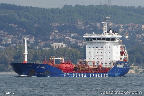
 FT STURLA
Current Status
Where is the vessel?
FT STURLA is currently in Near Monrovia, based on AIS data received about 14h ago.
Latest AIS update:
Current position: 6.27152° N, 10.86430° W (Near Monrovia)
Average speed (last 7 days): Loading…
Average speed (last 30 days): Loading…
Vessel profile: FT STURLA is a Chemical/Oil Products Tanker with dimensions 120m x 17m.
This page combines live AIS, route history, probable destination signals, nearby traffic, and port activity for practical vessel monitoring.
The current position of vessel FT STURLA is 6.27152 lat / -10.8643 lng. Updated: 2026-05-22 03:35:26 UTCNearest reference points:
- 15 nm SW of Buchanan
- 110 nm SW of River Cess
- Near Kissy
Currently sailing under the flag of Malta ![]()
FT STURLA built in 2009 year
Deadweight:
7598 tDetails:
Live Vessel FT STURLA Analytics (details, animations, etc.)
Recent AIS points (UTC):
2026-05-22 01:05:24 UTC · 6.27160, -10.86470 · SOG 0 kn · COG 166°2026-05-22 01:53:27 UTC · 6.27150, -10.86470 · SOG 0.1 kn · COG 170°
2026-05-22 03:35:26 UTC · 6.27152, -10.86430 · SOG 0 kn · COG 197°
2026-05-22 03:35:26 UTC · 6.27152, -10.86430 · SOG 0 kn · COG 197°