 IRON DUKE
Current Status
Where is the vessel?
IRON DUKE is currently in 18 nm NE of Scauri Alto, based on AIS data received about 14h ago.
Latest AIS update:
Current position: 36.92353° N, 12.29286° E (18 nm NE of Scauri Alto)
Average speed (last 7 days): Loading…
Average speed (last 30 days): Loading…
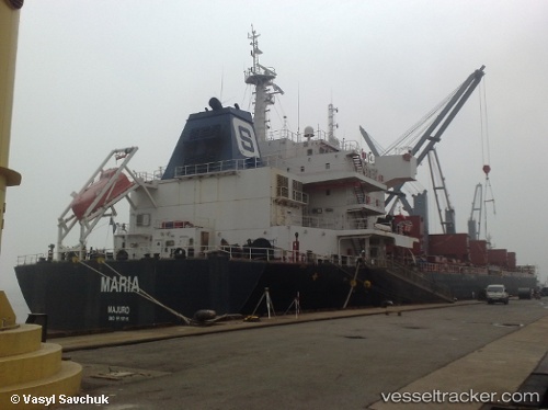
Vessel profile: IRON DUKE is a Bulk Carrier with dimensions 196m x 196m.
This page combines live AIS, route history, probable destination signals, nearby traffic, and port activity for practical vessel monitoring.
The current position of vessel IRON DUKE is 36.92353 lat / 12.29286 lng. Updated: 2026-05-20 19:01:17 UTCNearest reference points:
- Near MARSALA
- Near Trapani
- 13 nm N of Qulaybiyah
Currently sailing under the flag of United Kingdom ![]()
IRON DUKE built in 2011 year
Deadweight:
58407 tDetails:
Live Vessel IRON DUKE Analytics (details, animations, etc.)
Recent AIS points (UTC):
2026-05-20 16:22:09 UTC · 36.62434, 12.80996 · SOG 11.1 kn · COG -1°2026-05-20 16:27:08 UTC · 36.63352, 12.79432 · SOG 11.2 kn · COG -1°
2026-05-20 17:36:28 UTC · 36.75949, 12.56847 · SOG 11.5 kn · COG -1°
2026-05-20 19:01:17 UTC · 36.92353, 12.29286 · SOG 11.7 kn · COG -1°