 MOONLIGHT
Current Status
Where is the vessel?
MOONLIGHT is currently in 61 nm S of Akrotiri, based on AIS data received about 19h ago.
Latest AIS update:
Current position: 33.61140° N, 32.64872° E (61 nm S of Akrotiri)
Average speed (last 7 days): Loading…
Average speed (last 30 days): Loading…
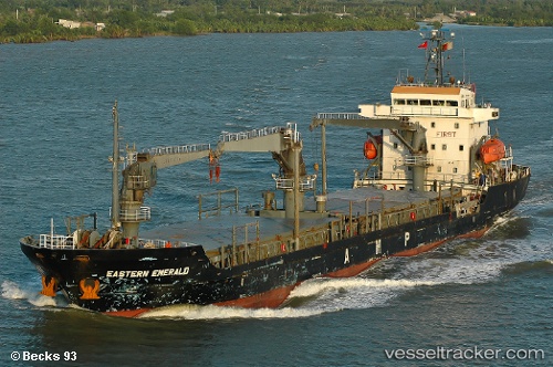
Vessel profile: MOONLIGHT is a General Cargo Ship with dimensions 104m x 17m.
This page combines live AIS, route history, probable destination signals, nearby traffic, and port activity for practical vessel monitoring.
The current position of vessel MOONLIGHT is 33.61140 lat / 32.64872 lng. Updated: 2026-05-20 02:55:57 UTCNearest reference points:
- 68 nm SW of Paphos
- 11 nm SE of Paphos
- Near Limassol
Currently sailing under the flag of Panama ![]()
MOONLIGHT built in 2008 year
Deadweight:
6648 tDetails:
Live Vessel MOONLIGHT Analytics (details, animations, etc.)
Recent AIS points (UTC):
2026-05-20 02:55:57 UTC · 33.61140, 32.64872 · SOG 10.2 kn · COG 117°2026-05-20 02:55:57 UTC · 33.61140, 32.64872 · SOG 10.2 kn · COG 117°
2026-05-20 02:55:57 UTC · 33.61140, 32.64872 · SOG 10.2 kn · COG 117°
2026-05-20 02:55:57 UTC · 33.61140, 32.64872 · SOG 10.2 kn · COG 117°