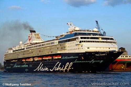
 Marella Explorer
Current Status
Where is the vessel?
Marella Explorer is currently in 28 nm W of Lucciana, based on AIS data received about 15h ago.
Latest AIS update:
Current position: 43.58325° N, 8.78353° E (28 nm W of Lucciana)
Average speed (last 7 days): Loading…
Average speed (last 30 days): Loading…
Vessel profile: Marella Explorer is a Cruise Ship with dimensions 262m x 32m.
This page combines live AIS, route history, probable destination signals, nearby traffic, and port activity for practical vessel monitoring.
The current position of vessel Marella Explorer is 43.58325 lat / 8.78353 lng. Updated: 2026-05-25 23:30:57 UTCNearest reference points:
- 27 nm NW of Lucciana
- 20 nm SE of Cabanas
- 26 nm W of Macinaggio
Currently sailing under the flag of Malta ![]()
Marella Explorer built in 1996 year
Deadweight:
6500 tDetails:
Live Vessel Marella Explorer Analytics (details, animations, etc.)
Recent AIS points (UTC):
2026-05-25 20:07:23 UTC · 43.53702, 9.71920 · SOG 12.3 kn · COG 275°2026-05-25 22:22:46 UTC · 43.57053, 9.09807 · SOG 12.4 kn · COG 272°
2026-05-25 22:26:54 UTC · 43.57158, 9.07847 · SOG 12.4 kn · COG 271°
2026-05-25 23:30:57 UTC · 43.58325, 8.78353 · SOG 12.5 kn · COG 273°