 Hilke
Hilke
Current Status
Where is the vessel?
Hilke is currently in 32 nm SE of River Dart, based on AIS data received about 14h ago.
Latest AIS update:
Current position: 49.98197° N, 2.93196° W (32 nm SE of River Dart)
Average speed (last 7 days): Loading…
Average speed (last 30 days): Loading…
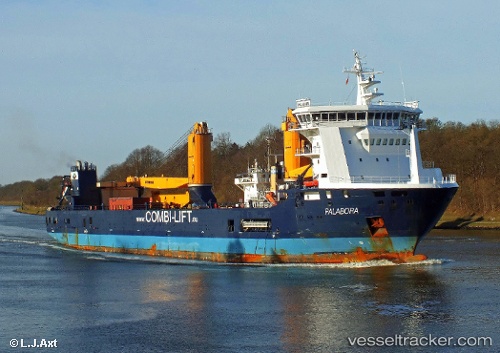
Vessel profile: Hilke is a Multi Purpose Carrier with dimensions 133m x 23m.
This page combines live AIS, route history, probable destination signals, nearby traffic, and port activity for practical vessel monitoring.
The current position of vessel Hilke is 49.98197 lat / -2.93196 lng. Updated: 2026-05-23 08:53:27 UTCNearest reference points:
- 23 nm NW of Saint Sampson
- 16 nm SE of Brixham
- Near Saint Sampson
Currently sailing under the flag of Antigua Barbuda ![]()
Hilke built in 2010 year
Deadweight:
10052 tDetails:
Live Vessel Hilke Analytics (details, animations, etc.)
Recent AIS points (UTC):
2026-05-23 05:32:02 UTC · 50.21450, -1.47335 · SOG 17.3 kn · COG -1°2026-05-23 07:42:38 UTC · 50.04150, -2.43601 · SOG 17.3 kn · COG 258°
2026-05-23 07:50:53 UTC · 50.03459, -2.48648 · SOG 17.2 kn · COG -1°
2026-05-23 08:53:27 UTC · 49.98197, -2.93196 · SOG 15.5 kn · COG 259°