 Bluefish
Current Status
Where is the vessel?
Bluefish is currently in 13 nm E of Anamur, based on AIS data received about 14h ago.
Latest AIS update:
Current position: 36.00385° N, 33.10645° E (13 nm E of Anamur)
Average speed (last 7 days): Loading…
Average speed (last 30 days): Loading…
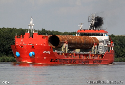
Vessel profile: Bluefish is a Multi Purpose Carrier with dimensions m x 90m.
This page combines live AIS, route history, probable destination signals, nearby traffic, and port activity for practical vessel monitoring.
The current position of vessel Bluefish is 36.00385 lat / 33.10645 lng. Updated: 2026-05-18 21:35:42 UTCNearest reference points:
- 20 nm SW of Yesilovacik
- 15 nm SW of Yesilovacik
- Near Larnaca
Currently sailing under the flag of Panama ![]()
Bluefish built in 2010 year
Deadweight:
4709 tDetails:
Live Vessel Bluefish Analytics (details, animations, etc.)
Recent AIS points (UTC):
2026-05-18 18:21:53 UTC · 35.99293, 32.54373 · SOG 8.7 kn · COG 95°2026-05-18 19:30:34 UTC · 35.98535, 32.74548 · SOG 8.3 kn · COG 95°
2026-05-18 20:02:42 UTC · 35.98118, 32.83611 · SOG 8.1 kn · COG 84°
2026-05-18 21:35:42 UTC · 36.00385, 33.10645 · SOG 8.4 kn · COG 83°