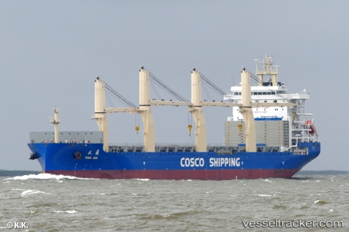
 Tian Hui
Current Status
Where is the vessel?
Tian Hui is currently in 126 nm W of Abakaliki, based on AIS data received about 15h ago.
Latest AIS update:
Current position: 5.78160° N, 83.95838° E (126 nm W of Abakaliki)
Average speed (last 7 days): Loading…
Average speed (last 30 days): Loading…
Vessel profile: Tian Hui is a General Cargo Ship with dimensions 190m x 190m.
This page combines live AIS, route history, probable destination signals, nearby traffic, and port activity for practical vessel monitoring.
The current position of vessel Tian Hui is 5.78160 lat / 83.95838 lng. Updated: 2026-05-18 23:24:46 UTCNearest reference points:
- 127 nm W of Abakaliki
- 79 nm E of Konwelana
- 75 nm E of Konwelana
Currently sailing under the flag of China ![]()
Details:
Live Vessel Tian Hui Analytics (details, animations, etc.)
Recent AIS points (UTC):
2026-05-18 14:36:45 UTC · 5.75338, 81.89559 · SOG 13.8 kn · COG -1°2026-05-18 22:02:54 UTC · 5.80255, 83.62875 · SOG 14.6 kn · COG -1°
2026-05-18 22:02:54 UTC · 5.80255, 83.62875 · SOG 14.6 kn · COG -1°
2026-05-18 23:24:46 UTC · 5.78160, 83.95838 · SOG 14.3 kn · COG 101°