 GULF ANGEL
Current Status
Where is the vessel?
GULF ANGEL is currently in 18 nm NE of Il-Kappara, based on AIS data received about 15h ago.
Latest AIS update:
Current position: 35.97760° N, 14.89188° E (18 nm NE of Il-Kappara)
Average speed (last 7 days): Loading…
Average speed (last 30 days): Loading…
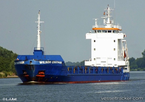
Vessel profile: GULF ANGEL is a General Cargo Ship with dimensions 100m x 13m.
This page combines live AIS, route history, probable destination signals, nearby traffic, and port activity for practical vessel monitoring.
The current position of vessel GULF ANGEL is 35.97760 lat / 14.89188 lng. Updated: 2026-05-18 22:57:58 UTCNearest reference points:
- 13 nm E of Il-Kappara
- 18 nm E of Il-Kappara
- Near Xghajra
Currently sailing under the flag of Antigua and Barbuda ![]()
GULF ANGEL built in 1996 year
Deadweight:
4454 tDetails:
Live Vessel GULF ANGEL Analytics (details, animations, etc.)
Recent AIS points (UTC):
2026-05-18 19:09:59 UTC · 35.97743, 14.89141 · SOG 0.1 kn · COG 336°2026-05-18 20:24:59 UTC · 35.97736, 14.89175 · SOG 0.1 kn · COG 328°
2026-05-18 21:42:59 UTC · 35.97748, 14.89178 · SOG 0.1 kn · COG 328°
2026-05-18 22:57:58 UTC · 35.97760, 14.89188 · SOG 0.3 kn · COG 322°