 vesseltracker.com
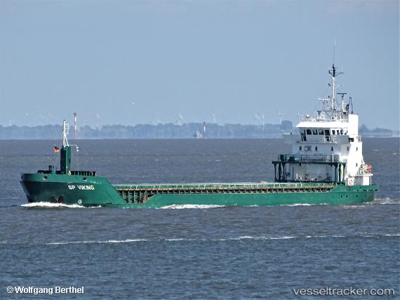
 Feed Helgeland
Current Status
Where is the vessel?
Feed Helgeland is currently in Near Halsingborg, based on AIS data received about 14h ago.
Latest AIS update:
Current position: 56.00896° N, 12.71117° E (Near Halsingborg)
Average speed (last 7 days): Loading…
Average speed (last 30 days): Loading…
Vessel profile: Feed Helgeland is a Multi Purpose Carrier with dimensions 90m x 13m.
This page combines live AIS, route history, probable destination signals, nearby traffic, and port activity for practical vessel monitoring.
The current position of vessel Feed Helgeland is 56.00896 lat / 12.71117 lng. Updated: 2026-05-18 13:38:57 UTCNearest reference points:
- Near Halsingborg
- Near Rydebäck
- Near Sankt Ibb
Currently sailing under the flag of Norway ![]()
Feed Helgeland built in 1999 year
Deadweight:
4934 tDetails:
Live Vessel Feed Helgeland Analytics (details, animations, etc.)
Recent AIS points (UTC):
2026-05-18 09:47:55 UTC · 56.00895, 12.71113 · SOG 0 kn · COG 163°2026-05-18 10:44:57 UTC · 56.00895, 12.71118 · SOG 0 kn · COG 163°
2026-05-18 11:53:58 UTC · 56.00895, 12.71118 · SOG 0 kn · COG 163°
2026-05-18 13:38:57 UTC · 56.00896, 12.71117 · SOG 0 kn · COG 163°