 vesseltracker.com
 Isar Highway
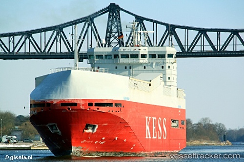
Current Status
Where is the vessel?
Isar Highway is currently in Near Ramskapelle, based on AIS data received about 14h ago.
Latest AIS update:
Current position: 51.31321° N, 3.22619° E (Near Ramskapelle)
Average speed (last 7 days): Loading…
Average speed (last 30 days): Loading…
Vessel profile: Isar Highway is a Vehicles Carrier with dimensions 100m x 20m.
This page combines live AIS, route history, probable destination signals, nearby traffic, and port activity for practical vessel monitoring.
The current position of vessel Isar Highway is 51.31321 lat / 3.22619 lng. Updated: 2026-05-18 13:39:06 UTCNearest reference points:
- Near Zeebrugge
- Near Sas-Slijkens
- Near Oostende
Currently sailing under the flag of Cyprus ![]()
Isar Highway built in 2000 year
Deadweight:
3414 tDetails:
Live Vessel Isar Highway Analytics (details, animations, etc.)
Recent AIS points (UTC):
2026-05-18 09:48:15 UTC · 51.30441, 3.23392 · SOG 0.1 kn · COG 334°2026-05-18 10:45:46 UTC · 51.30500, 3.23333 · SOG 0 kn · COG -1°
2026-05-18 11:54:14 UTC · 51.30441, 3.23391 · SOG 0.1 kn · COG 334°
2026-05-18 13:39:06 UTC · 51.31321, 3.22619 · SOG 4.7 kn · COG 336°