 Marietje Hester
Current Status
Where is the vessel?
Marietje Hester is currently in 17 nm W of L'Île-d'Yeu, based on AIS data received about 18h ago.
Latest AIS update:
Current position: 46.72712° N, 2.76319° W (17 nm W of L'Île-d'Yeu)
Average speed (last 7 days): Loading…
Average speed (last 30 days): Loading…
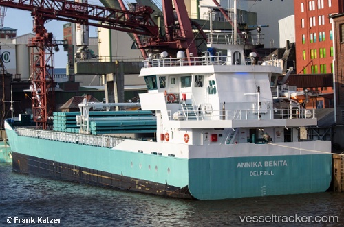
Vessel profile: Marietje Hester is a General Cargo Ship with dimensions 83m x 12m.
This page combines live AIS, route history, probable destination signals, nearby traffic, and port activity for practical vessel monitoring.
The current position of vessel Marietje Hester is 46.72712 lat / -2.76319 lng. Updated: 2026-05-20 17:35:08 UTCNearest reference points:
- 13 nm S of Saint-Céols
- 12 nm S of Saint-Céols
- 17 nm S of L'Île-d'Yeu
Currently sailing under the flag of Netherlands ![]()
Marietje Hester built in 2005 year
Deadweight:
3200 tDetails:
Live Vessel Marietje Hester Analytics (details, animations, etc.)
Recent AIS points (UTC):
2026-05-20 13:34:31 UTC · 47.00279, -3.25656 · SOG 6.9 kn · COG 130°2026-05-20 16:04:23 UTC · 46.82826, -2.94350 · SOG 7 kn · COG 132°
2026-05-20 16:57:04 UTC · 46.76803, -2.83166 · SOG 6.2 kn · COG 132°
2026-05-20 17:35:08 UTC · 46.72712, -2.76319 · SOG 5.9 kn · COG 132°