 HARVEST
Current Status
Where is the vessel?
HARVEST is currently in Near Janghang/Seocheon-gun, based on AIS data received about 15h ago.
Latest AIS update:
Current position: 35.97431° N, 126.53496° E (Near Janghang/Seocheon-gun)
Average speed (last 7 days): Loading…
Average speed (last 30 days): Loading…
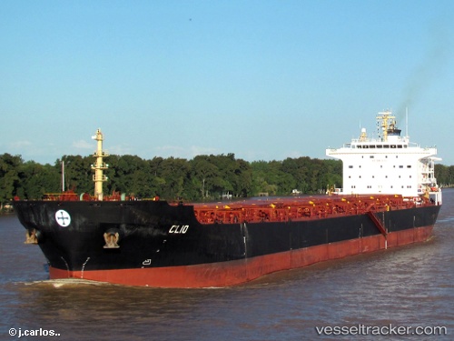
Vessel profile: HARVEST is a Bulk Carrier with dimensions 32m x 225m.
This page combines live AIS, route history, probable destination signals, nearby traffic, and port activity for practical vessel monitoring.
The current position of vessel HARVEST is 35.97431 lat / 126.53496 lng. Updated: 2026-05-19 06:59:25 UTCNearest reference points:
- Near Janghang/Seocheon-gun
- Near Hampyeong-gun
- Near DAECHEONHANG
Currently sailing under the flag of Marshall Islands ![]()
HARVEST built in 2005 year
Deadweight:
73691 tDetails:
Live Vessel HARVEST Analytics (details, animations, etc.)
Recent AIS points (UTC):
2026-05-19 03:53:25 UTC · 35.97432, 126.53497 · SOG 0 kn · COG 86°2026-05-19 05:05:25 UTC · 35.97432, 126.53497 · SOG 0 kn · COG 86°
2026-05-19 06:11:25 UTC · 35.97433, 126.53496 · SOG 0 kn · COG 86°
2026-05-19 06:59:25 UTC · 35.97431, 126.53496 · SOG 0 kn · COG 86°