 Atlantic Wind
Current Status
Where is the vessel?
Atlantic Wind is currently in 23 nm SE of Eastbourne, based on AIS data received about 14h ago.
Latest AIS update:
Current position: 50.41303° N, 0.51947° E (23 nm SE of Eastbourne)
Average speed (last 7 days): Loading…
Average speed (last 30 days): Loading…
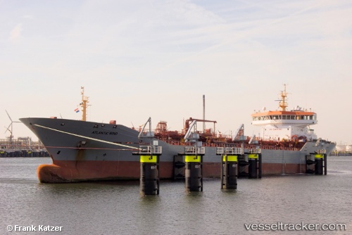
Vessel profile: Atlantic Wind is a Chemical Oil Products Tanker with dimensions 150m x 22m.
This page combines live AIS, route history, probable destination signals, nearby traffic, and port activity for practical vessel monitoring.
The current position of vessel Atlantic Wind is 50.41303 lat / 0.51947 lng. Updated: 2026-05-20 10:25:51 UTCNearest reference points:
- 23 nm S of Poling
- Near Saint Leonards-on-Sea
- 27 nm S of Seaford
Currently sailing under the flag of Gibraltar ![]()
Atlantic Wind built in 2007 year
Deadweight:
15019 tDetails:
Live Vessel Atlantic Wind Analytics (details, animations, etc.)
Recent AIS points (UTC):
2026-05-20 07:21:49 UTC · 50.29246, -0.43546 · SOG 12.3 kn · COG 83°2026-05-20 07:31:01 UTC · 50.29537, -0.38656 · SOG 12.3 kn · COG 83°
2026-05-20 09:41:39 UTC · 50.36811, 0.29518 · SOG 12.2 kn · COG 70°
2026-05-20 10:25:51 UTC · 50.41303, 0.51947 · SOG 12.3 kn · COG 66°