 vesseltracker.com
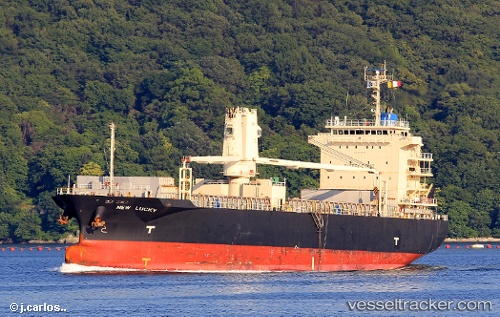
 HALIT BEY
Current Status
Where is the vessel?
HALIT BEY is currently in 36 nm SE of Claonaig, based on AIS data received less than 1h ago.
Latest AIS update:
Current position: 55.37833° N, 6.22167° E (36 nm SE of Claonaig)
Average speed (last 7 days): Loading…
Average speed (last 30 days): Loading…
Vessel profile: HALIT BEY is a General Cargo Ship with dimensions 20m x 104m.
This page combines live AIS, route history, probable destination signals, nearby traffic, and port activity for practical vessel monitoring.
The current position of vessel HALIT BEY is 55.37833 lat / 6.22167 lng. Updated: 2026-05-17 15:58:31 UTCNearest reference points:
- 36 nm W of HVIDE SANDE
- 14 nm NW of Town Quays/Drogheda
- Near Blavand
Currently sailing under the flag of Barbados ![]()
HALIT BEY built in 2008 year
Deadweight:
12046 tDetails:
Live Vessel HALIT BEY Analytics (details, animations, etc.)
Recent AIS points (UTC):
2026-05-17 13:09:40 UTC · 54.99386, 5.77639 · SOG 9.9 kn · COG 34°2026-05-17 13:43:17 UTC · 55.07061, 5.86603 · SOG 9.9 kn · COG 35°
2026-05-17 15:49:31 UTC · 55.35833, 6.19833 · SOG 9 kn · COG -1°
2026-05-17 15:58:31 UTC · 55.37833, 6.22167 · SOG 9 kn · COG -1°