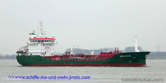
 MINA DENIZ
Current Status
Where is the vessel?
MINA DENIZ is currently in 38 nm S of SOBRA, based on AIS data received about 14h ago.
Latest AIS update:
Current position: 42.14706° N, 17.32821° E (38 nm S of SOBRA)
Average speed (last 7 days): Loading…
Average speed (last 30 days): Loading…
Vessel profile: MINA DENIZ is a Chemical/Oil Products Tanker with dimensions 16m x 110m.
This page combines live AIS, route history, probable destination signals, nearby traffic, and port activity for practical vessel monitoring.
The current position of vessel MINA DENIZ is 42.14706 lat / 17.32821 lng. Updated: 2026-05-20 23:29:19 UTCNearest reference points:
- 15 nm SW of Cavtat
- Near Dubravica
- Near Kardeljevo
Currently sailing under the flag of Malta ![]()
MINA DENIZ built in 2019 year
Deadweight:
6610 tDetails:
Live Vessel MINA DENIZ Analytics (details, animations, etc.)
Recent AIS points (UTC):
2026-05-20 19:03:08 UTC · 41.74127, 18.29787 · SOG 11.1 kn · COG 300°2026-05-20 22:02:10 UTC · 42.00881, 17.65276 · SOG 11.4 kn · COG 303°
2026-05-20 23:05:09 UTC · 42.10876, 17.41807 · SOG 11.5 kn · COG 304°
2026-05-20 23:29:19 UTC · 42.14706, 17.32821 · SOG 11.3 kn · COG 304°