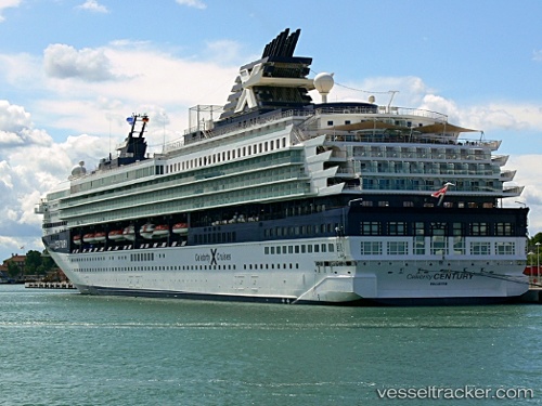
 Marella Explorer 2
Current Status
Where is the vessel?
Marella Explorer 2 is currently in Near Trieste, based on AIS data received about 14h ago.
Latest AIS update:
Current position: 45.65162° N, 13.76284° E (Near Trieste)
Average speed (last 7 days): Loading…
Average speed (last 30 days): Loading…
Vessel profile: Marella Explorer 2 is a Cruise Ship with dimensions 247m x 32m.
This page combines live AIS, route history, probable destination signals, nearby traffic, and port activity for practical vessel monitoring.
The current position of vessel Marella Explorer 2 is 45.65162 lat / 13.76284 lng. Updated: 2026-07-04 13:42:12 UTCNearest reference points:
- Near Trieste
- Near Ankaran
- Near IZOLA
Currently sailing under the flag of Malta ![]()
Marella Explorer 2 built in 1995 year
Deadweight:
7260 tDetails:
Live Vessel Marella Explorer 2 Analytics (details, animations, etc.)
Recent AIS points (UTC):
2026-07-04 10:15:13 UTC · 45.65162, 13.76282 · SOG 0 kn · COG 319°2026-07-04 11:18:12 UTC · 45.65162, 13.76283 · SOG 0 kn · COG 319°
2026-07-04 13:06:12 UTC · 45.65163, 13.76283 · SOG 0 kn · COG 319°
2026-07-04 13:42:12 UTC · 45.65162, 13.76284 · SOG 0 kn · COG 319°