Tataki
Current StatusWhere is the vessel?
Tataki is currently in Near Richeterre, based on AIS data received about 16h ago.
Latest AIS update:
Current position: 20.11817° S, 57.47802° E (Near Richeterre)
Average speed (last 7 days): Loading…
Average speed (last 30 days): Loading…
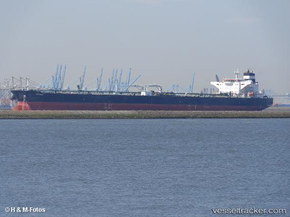
Vessel profile: Tataki is a Crude Oil Tanker with dimensions 50m x 274m.
This page combines live AIS, route history, probable destination signals, nearby traffic, and port activity for practical vessel monitoring.
The current position of vessel Tataki is -20.11817 lat / 57.47802 lng. Updated: 2026-05-24 07:29:10 UTCNearest reference points:
- Near Port Louis
- 164 nm NW of Pointe aux Canonniers
Details:
Live Vessel Tataki Analytics (details, animations, etc.)
Recent AIS points (UTC):
2026-05-24 05:05:11 UTC · -20.11817, 57.47770 · SOG 0 kn · COG 151°2026-05-24 06:05:09 UTC · -20.11808, 57.47812 · SOG 0 kn · COG 161°
2026-05-24 07:23:09 UTC · -20.11825, 57.47798 · SOG 0 kn · COG 155°
2026-05-24 07:29:10 UTC · -20.11817, 57.47802 · SOG 0 kn · COG 160°