 SAMIRA
Current Status
Where is the vessel?
SAMIRA is currently in Near Monte-Carlo, based on AIS data received about 15h ago.
Latest AIS update:
Current position: 43.73676° N, 7.42422° E (Near Monte-Carlo)
Average speed (last 7 days): Loading…
Average speed (last 30 days): Loading…
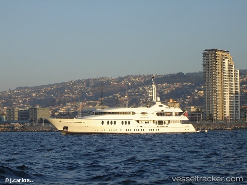
Vessel profile: SAMIRA is a Houseboat with dimensions 10m x 55m.
This page combines live AIS, route history, probable destination signals, nearby traffic, and port activity for practical vessel monitoring.
The current position of vessel SAMIRA is 43.73676 lat / 7.42422 lng. Updated: 2026-06-10 12:12:26 UTCNearest reference points:
- Near Monaco
- Near Monte-Carlo
- Near SAINTJEAN CAP FERRAT
Currently sailing under the flag of Marshall Islands ![]()
SAMIRA built in 2003 year
Deadweight:
0 tDetails:
Live Vessel SAMIRA Analytics (details, animations, etc.)
Recent AIS points (UTC):
2026-06-10 08:06:24 UTC · 43.73676, 7.42419 · SOG 0.1 kn · COG 171°2026-06-10 10:30:27 UTC · 43.73676, 7.42422 · SOG 0.1 kn · COG 169°
2026-06-10 11:18:27 UTC · 43.73677, 7.42420 · SOG 0.1 kn · COG 168°
2026-06-10 12:12:26 UTC · 43.73676, 7.42422 · SOG 0.1 kn · COG 168°