 vesseltracker.com
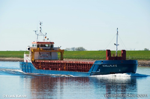
 Schillplate
Current Status
Where is the vessel?
Schillplate is currently in 15 nm W of Tofta, based on AIS data received less than 1h ago.
Latest AIS update:
Current position: 57.50720° N, 17.69002° E (15 nm W of Tofta)
Average speed (last 7 days): Loading…
Average speed (last 30 days): Loading…
Vessel profile: Schillplate is a Multi Purpose Carrier with dimensions 86m x 12m.
This page combines live AIS, route history, probable destination signals, nearby traffic, and port activity for practical vessel monitoring.
The current position of vessel Schillplate is 57.50720 lat / 17.69002 lng. Updated: 2026-05-15 13:29:45 UTCNearest reference points:
- Near Stora Vika
- Near SODERTALJE
- Near Krokek
Currently sailing under the flag of Gibraltar ![]()
Schillplate built in 2009 year
Deadweight:
3175 tDetails:
Live Vessel Schillplate Analytics (details, animations, etc.)
Recent AIS points (UTC):
2026-05-15 10:16:26 UTC · 57.98138, 18.21044 · SOG 10.3 kn · COG 213°2026-05-15 11:43:46 UTC · 57.76784, 17.97017 · SOG 10.3 kn · COG 208°
2026-05-15 13:02:47 UTC · 57.57285, 17.75913 · SOG 10.1 kn · COG 209°
2026-05-15 13:29:45 UTC · 57.50720, 17.69002 · SOG 9.9 kn · COG 209°