 vesseltracker.com
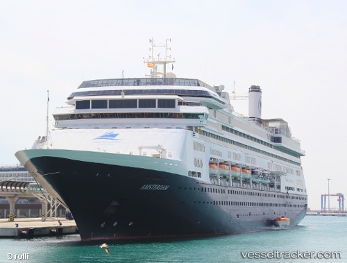
 BOLETTE
Current Status
Where is the vessel?
BOLETTE is currently in Near Waterport, based on AIS data received less than 1h ago.
Latest AIS update:
Current position: 36.14742° N, 5.36622° W (Near Waterport)
Average speed (last 7 days): Loading…
Average speed (last 30 days): Loading…
Vessel profile: BOLETTE is a Passenger (Cruise) Ship with dimensions 32m x 238m.
This page combines live AIS, route history, probable destination signals, nearby traffic, and port activity for practical vessel monitoring.
The current position of vessel BOLETTE is 36.14742 lat / -5.36622 lng. Updated: 2026-05-02 13:37:11 UTCNearest reference points:
- Near Waterport
- Near La Línea de la Concepción
- Near Palmones
Currently sailing under the flag of Bahamas ![]()
BOLETTE built in 2000 year
Deadweight:
7327 tDetails:
Live Vessel BOLETTE Analytics (details, animations, etc.)
Recent AIS points (UTC):
2026-05-02 10:10:11 UTC · 36.14740, -5.36623 · SOG 0 kn · COG 0°2026-05-02 10:13:08 UTC · 36.14740, -5.36623 · SOG 0 kn · COG 0°
2026-05-02 11:43:05 UTC · 36.14742, -5.36622 · SOG 0 kn · COG 0°
2026-05-02 13:37:11 UTC · 36.14742, -5.36622 · SOG 0 kn · COG 0°