 HAMMER
Current Status
Where is the vessel?
HAMMER is currently in Near Mardyck, based on AIS data received about 15h ago.
Latest AIS update:
Current position: 51.03404° N, 2.26826° E (Near Mardyck)
Average speed (last 7 days): Loading…
Average speed (last 30 days): Loading…
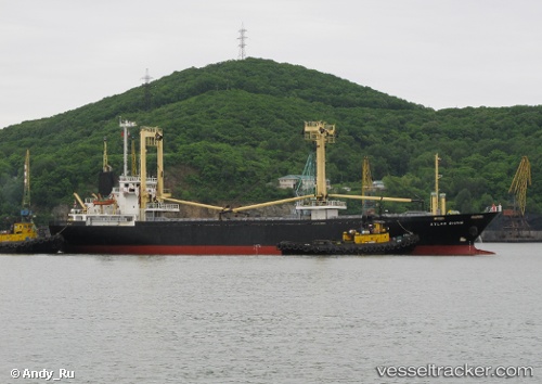
Vessel profile: HAMMER is a General Cargo Ship with dimensions 16m x 94m.
This page combines live AIS, route history, probable destination signals, nearby traffic, and port activity for practical vessel monitoring.
The current position of vessel HAMMER is 51.03404 lat / 2.26826 lng. Updated: 2026-05-20 02:04:59 UTCNearest reference points:
- Near Dunkerque
- Near ARQUES
- Near Calais
Currently sailing under the flag of Panama ![]()
HAMMER built in 1998 year
Deadweight:
4902 tDetails:
Live Vessel HAMMER Analytics (details, animations, etc.)
Recent AIS points (UTC):
2026-05-19 22:46:58 UTC · 51.03409, 2.26831 · SOG 0 kn · COG 359°2026-05-19 23:58:55 UTC · 51.03410, 2.26828 · SOG 0 kn · COG 358°
2026-05-20 01:06:58 UTC · 51.03411, 2.26826 · SOG 0 kn · COG 358°
2026-05-20 02:04:59 UTC · 51.03404, 2.26826 · SOG 0 kn · COG 358°