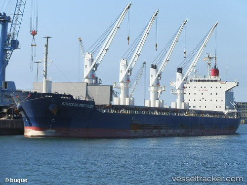
Strategic Fortitude
Current StatusWhere is the vessel?
Strategic Fortitude is currently in Near Prince Rupert, based on AIS data received about 14h ago.
Latest AIS update:
Current position: 54.32160° N, 130.32857° W (Near Prince Rupert)
Average speed (last 7 days): Loading…
Average speed (last 30 days): Loading…
Vessel profile: Strategic Fortitude is a Bulk Carrier with dimensions 29m x 179m.
This page combines live AIS, route history, probable destination signals, nearby traffic, and port activity for practical vessel monitoring.
The current position of vessel Strategic Fortitude is 54.32160 lat / -130.32857 lng. Updated: 2026-07-26 09:31:00 UTCNearest reference points:
- Near Prince Rupert
- Near Watson Island
- 11 nm S of Kitimat
Details:
Live Vessel Strategic Fortitude Analytics (details, animations, etc.)
Recent AIS points (UTC):
2026-07-26 06:16:06 UTC · 54.32364, -130.32761 · SOG 0 kn · COG 232°2026-07-26 07:56:25 UTC · 54.32167, -130.32666 · SOG 0 kn · COG -1°
2026-07-26 08:05:26 UTC · 54.32333, -130.32666 · SOG 0 kn · COG -1°
2026-07-26 09:31:00 UTC · 54.32160, -130.32857 · SOG 0.1 kn · COG 326°