 vesseltracker.com
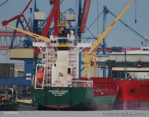
 MSC CHARLOTTE
Current Status
Where is the vessel?
MSC CHARLOTTE is currently in 26 nm SW of Anamur, based on AIS data received less than 1h ago.
Latest AIS update:
Current position: 35.88892° N, 32.35229° E (26 nm SW of Anamur)
Average speed (last 7 days): Loading…
Average speed (last 30 days): Loading…
Vessel profile: MSC CHARLOTTE is a Container Ship with dimensions 148m x 24m.
This page combines live AIS, route history, probable destination signals, nearby traffic, and port activity for practical vessel monitoring.
The current position of vessel MSC CHARLOTTE is 35.88892 lat / 32.35229 lng. Updated: 2026-04-23 22:37:24 UTCNearest reference points:
- 20 nm SW of Yesilovacik
- 15 nm SW of Yesilovacik
- 11 nm SE of Paphos
Currently sailing under the flag of Liberia ![]()
MSC CHARLOTTE built in 2007 year
Deadweight:
13882 tDetails:
Live Vessel MSC CHARLOTTE Analytics (details, animations, etc.)
Recent AIS points (UTC):
2026-04-23 19:48:47 UTC · 35.91683, 33.12376 · SOG 13.8 kn · COG 261°2026-04-23 19:49:24 UTC · 35.91639, 33.12085 · SOG 13.8 kn · COG 262°
2026-04-23 21:22:36 UTC · 35.87569, 32.68717 · SOG 13.3 kn · COG 274°
2026-04-23 22:37:24 UTC · 35.88892, 32.35229 · SOG 13 kn · COG 273°