 vesseltracker.com
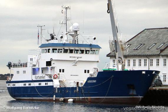
 Hydrograf
Current Status
Where is the vessel?
Hydrograf is currently in Near Kirkenes, based on AIS data received about 14h ago.
Latest AIS update:
Current position: 69.73065° N, 30.05595° E (Near Kirkenes)
Average speed (last 7 days): Loading…
Average speed (last 30 days): Loading…
Vessel profile: Hydrograf is a Buoy Lighthouse Vessel with dimensions 44m x 10m.
This page combines live AIS, route history, probable destination signals, nearby traffic, and port activity for practical vessel monitoring.
The current position of vessel Hydrograf is 69.73065 lat / 30.05595 lng. Updated: 2026-05-18 09:46:18 UTCNearest reference points:
- Near Bugøynes
- Near BATSFJORD
- Near Nyelv
Currently sailing under the flag of Norway ![]()
Hydrograf built in 1985 year
Deadweight:
454 tDetails:
Live Vessel Hydrograf Analytics (details, animations, etc.)
Recent AIS points (UTC):
2026-05-18 05:54:27 UTC · 69.73065, 30.05592 · SOG 0 kn · COG 13°2026-05-18 07:18:26 UTC · 69.73065, 30.05593 · SOG 0 kn · COG 13°
2026-05-18 07:48:12 UTC · 69.73065, 30.05595 · SOG 0 kn · COG 14°
2026-05-18 09:46:18 UTC · 69.73065, 30.05595 · SOG 0 kn · COG 14°