 Muhammet Gumustas 5
Current Status
Where is the vessel?
Muhammet Gumustas 5 is currently in Near Saraylar, based on AIS data received about 14h ago.
Latest AIS update:
Current position: 40.73401° N, 27.51234° E (Near Saraylar)
Average speed (last 7 days): Loading…
Average speed (last 30 days): Loading…
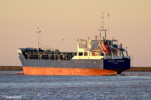
Vessel profile: Muhammet Gumustas 5 is a General Cargo Ship with dimensions 88m x 12m.
This page combines live AIS, route history, probable destination signals, nearby traffic, and port activity for practical vessel monitoring.
The current position of vessel Muhammet Gumustas 5 is 40.73401 lat / 27.51234 lng. Updated: 2026-06-17 21:21:23 UTCNearest reference points:
- Near Saraylar
- Near TEKIRDAG
- Near Sarköy
Currently sailing under the flag of Turkey ![]()
Muhammet Gumustas 5 built in 1985 year
Deadweight:
3020 tDetails:
Live Vessel Muhammet Gumustas 5 Analytics (details, animations, etc.)
Recent AIS points (UTC):
2026-06-17 17:49:43 UTC · 40.80915, 28.00557 · SOG 7.7 kn · COG 263°2026-06-17 19:42:41 UTC · 40.78564, 27.70048 · SOG 6 kn · COG -1°
2026-06-17 20:32:34 UTC · 40.76746, 27.60344 · SOG 4.2 kn · COG 244°
2026-06-17 21:21:23 UTC · 40.73401, 27.51234 · SOG 5.5 kn · COG 243°