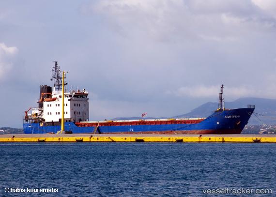
 MKM ARIF BEY
Current Status
Where is the vessel?
MKM ARIF BEY is currently in Near YALOVA, based on AIS data received about 16d ago.
Latest AIS update:
Current position: 40.72503° N, 29.48182° E (Near YALOVA)
Average speed (last 7 days): Loading…
Average speed (last 30 days): Loading…
Vessel profile: MKM ARIF BEY is a General Cargo Ship with dimensions 78m x 13m.
This page combines live AIS, route history, probable destination signals, nearby traffic, and port activity for practical vessel monitoring.
The current position of vessel MKM ARIF BEY is 40.72503 lat / 29.48182 lng. Updated: 2026-05-06 17:07:48 UTCNearest reference points:
- Near YALOVA
- Near Yilport
- Near Diliskelesi
Currently sailing under the flag of Vanuatu ![]()
MKM ARIF BEY built in 1991 year
Deadweight:
2059 tDetails:
Live Vessel MKM ARIF BEY Analytics (details, animations, etc.)
Recent AIS points (UTC):
2026-05-06 17:07:48 UTC · 40.72503, 29.48182 · SOG 0 kn · COG 315°