 LINK SUN
Current Status
Where is the vessel?
LINK SUN is currently in Near Mølstrevåg, based on AIS data received about 15h ago.
Latest AIS update:
Current position: 59.55283° N, 5.21089° E (Near Mølstrevåg)
Average speed (last 7 days): Loading…
Average speed (last 30 days): Loading…
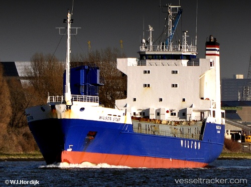
Vessel profile: LINK SUN is a Ro-Ro Cargo Ship with dimensions 108m x 18m.
This page combines live AIS, route history, probable destination signals, nearby traffic, and port activity for practical vessel monitoring.
The current position of vessel LINK SUN is 59.55283 lat / 5.21089 lng. Updated: 2026-06-11 19:44:56 UTCNearest reference points:
- Near Storøya
- Near HUSOYA
- Near Valevåg
Currently sailing under the flag of Norway (NIS) ![]()
LINK SUN built in 1988 year
Deadweight:
4463 tDetails:
Live Vessel LINK SUN Analytics (details, animations, etc.)
Recent AIS points (UTC):
2026-06-11 17:03:31 UTC · 60.00147, 5.34347 · SOG 12 kn · COG 156°2026-06-11 17:54:44 UTC · 59.86077, 5.53939 · SOG 12.5 kn · COG 173°
2026-06-11 19:32:13 UTC · 59.58736, 5.24888 · SOG 12 kn · COG 208°
2026-06-11 19:44:56 UTC · 59.55283, 5.21089 · SOG 11.8 kn · COG 202°