 GALILEAN 77
Current Status
Where is the vessel?
GALILEAN 77 is currently in Near Kirikakiri, based on AIS data received about 14h ago.
Latest AIS update:
Current position: 4.42624° N, 6.34294° E (Near Kirikakiri)
Average speed (last 7 days): Loading…
Average speed (last 30 days): Loading…
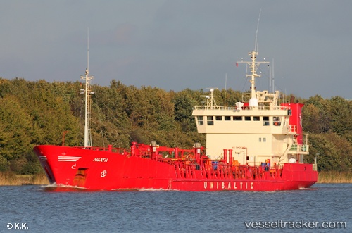
Vessel profile: GALILEAN 77 is a Chemical/Oil Products Tanker with dimensions 83m x 13m.
This page combines live AIS, route history, probable destination signals, nearby traffic, and port activity for practical vessel monitoring.
The current position of vessel GALILEAN 77 is 4.42624 lat / 6.34294 lng. Updated: 2026-05-25 01:28:32 UTCNearest reference points:
- 21 nm SW of Bonny
- 12 nm N of Okwori
- Near Port Harcourt
Currently sailing under the flag of St.Kitts and Nevis ![]()
GALILEAN 77 built in 1991 year
Deadweight:
3232 tDetails:
Live Vessel GALILEAN 77 Analytics (details, animations, etc.)
Recent AIS points (UTC):
2026-05-24 22:22:34 UTC · 4.42672, 6.34298 · SOG 0 kn · COG 222°2026-05-25 00:04:37 UTC · 4.42669, 6.34301 · SOG 0 kn · COG 220°
2026-05-25 00:28:35 UTC · 4.42671, 6.34298 · SOG 0 kn · COG 212°
2026-05-25 01:28:32 UTC · 4.42624, 6.34294 · SOG 0.1 kn · COG 276°