 Antares
Current Status
Where is the vessel?
Antares is currently in Near Mersin, based on AIS data received about 14h ago.
Latest AIS update:
Current position: 36.74267° N, 34.63647° E (Near Mersin)
Average speed (last 7 days): Loading…
Average speed (last 30 days): Loading…
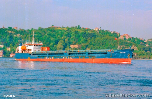
Vessel profile: Antares is a General Cargo Ship with dimensions 108m x 15m.
This page combines live AIS, route history, probable destination signals, nearby traffic, and port activity for practical vessel monitoring.
The current position of vessel Antares is 36.74267 lat / 34.63647 lng. Updated: 2026-05-20 16:11:56 UTCNearest reference points:
- Near Mersin
- Near Mersin-Free Zone
- Near YUMURTALIC
Currently sailing under the flag of Sierra Leone ![]()
Antares built in 1988 year
Deadweight:
3757 tDetails:
Live Vessel Antares Analytics (details, animations, etc.)
Recent AIS points (UTC):
2026-05-20 13:02:18 UTC · 36.74271, 34.63643 · SOG 0 kn · COG 90°2026-05-20 13:50:18 UTC · 36.74251, 34.63658 · SOG 0.3 kn · COG 77°
2026-05-20 15:51:41 UTC · 36.74266, 34.63645 · SOG 0 kn · COG 91°
2026-05-20 16:11:56 UTC · 36.74267, 34.63647 · SOG 0.2 kn · COG 86°