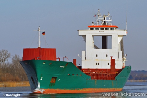
 Mariam
Current Status
Where is the vessel?
Mariam is currently in Near Volos, based on AIS data received about 14h ago.
Latest AIS update:
Current position: 39.35552° N, 22.93333° E (Near Volos)
Average speed (last 7 days): Loading…
Average speed (last 30 days): Loading…
Vessel profile: Mariam is a Multi Purpose Carrier with dimensions m x m.
This page combines live AIS, route history, probable destination signals, nearby traffic, and port activity for practical vessel monitoring.
The current position of vessel Mariam is 39.35552 lat / 22.93333 lng. Updated: 2026-05-19 14:22:08 UTCNearest reference points:
- Near Volos
- Near Agriá
- Near Amaliápolis
Currently sailing under the flag of Togo ![]()
Mariam built in 1991 year
Deadweight:
5850 tDetails:
Live Vessel Mariam Analytics (details, animations, etc.)
Recent AIS points (UTC):
2026-05-19 10:07:09 UTC · 39.35554, 22.93333 · SOG 0 kn · COG 348°2026-05-19 11:58:08 UTC · 39.35553, 22.93333 · SOG 0 kn · COG 348°
2026-05-19 13:22:09 UTC · 39.35553, 22.93333 · SOG 0 kn · COG 348°
2026-05-19 14:22:08 UTC · 39.35552, 22.93333 · SOG 0 kn · COG 348°