 Mira Akay
Current Status
Where is the vessel?
Mira Akay is currently in Near Casablanca, based on AIS data received about 16h ago.
Latest AIS update:
Current position: 33.67257° N, 7.62782° W (Near Casablanca)
Average speed (last 7 days): Loading…
Average speed (last 30 days): Loading…
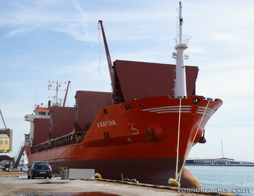
Vessel profile: Mira Akay is a General Cargo Ship with dimensions 100m x 21m.
This page combines live AIS, route history, probable destination signals, nearby traffic, and port activity for practical vessel monitoring.
The current position of vessel Mira Akay is 33.67257 lat / -7.62782 lng. Updated: 2026-05-19 19:50:54 UTCNearest reference points:
- Near Mohammedia
- Near Jorf Lasfar
- 54 nm N of El Jadida
Currently sailing under the flag of Turkey ![]()
Mira Akay built in 2004 year
Deadweight:
6304 tDetails:
Live Vessel Mira Akay Analytics (details, animations, etc.)
Recent AIS points (UTC):
2026-05-19 17:08:56 UTC · 33.67237, -7.62753 · SOG 0.1 kn · COG 60°2026-05-19 18:05:53 UTC · 33.67228, -7.62755 · SOG 0 kn · COG 61°
2026-05-19 19:47:54 UTC · 33.67257, -7.62782 · SOG 0.2 kn · COG 69°
2026-05-19 19:50:54 UTC · 33.67257, -7.62782 · SOG 0 kn · COG 71°