 Msc Nita
Current Status
Where is the vessel?
Msc Nita is currently in Near Kardeljevo, based on AIS data received about 14h ago.
Latest AIS update:
Current position: 43.04441° N, 17.42743° E (Near Kardeljevo)
Average speed (last 7 days): Loading…
Average speed (last 30 days): Loading…
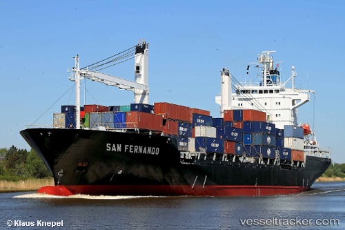
Vessel profile: Msc Nita is a Container Ship with dimensions 167m x 167m.
This page combines live AIS, route history, probable destination signals, nearby traffic, and port activity for practical vessel monitoring.
The current position of vessel Msc Nita is 43.04441 lat / 17.42743 lng. Updated: 2026-06-17 14:09:35 UTCNearest reference points:
- Near Kardeljevo
- Near Dubravica
- Near Sustjepan
Currently sailing under the flag of Liberia ![]()
Msc Nita built in 1996 year
Deadweight:
20100 tDetails:
Live Vessel Msc Nita Analytics (details, animations, etc.)
Recent AIS points (UTC):
2026-06-17 09:39:18 UTC · 43.03202, 17.36549 · SOG 5.8 kn · COG -1°2026-06-17 10:27:29 UTC · 43.04446, 17.42732 · SOG 0 kn · COG -1°
2026-06-17 11:54:35 UTC · 43.04439, 17.42747 · SOG 0 kn · COG -1°
2026-06-17 14:09:35 UTC · 43.04441, 17.42743 · SOG 0 kn · COG -1°