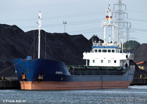
Sarah b
Current StatusWhere is the vessel?
Sarah b is currently in Near Szczecin, based on AIS data received about 14h ago.
Latest AIS update:
Current position: 53.40160° N, 14.61200° E (Near Szczecin)
Average speed (last 7 days): Loading…
Average speed (last 30 days): Loading…
Vessel profile: Sarah b is a Multi Purpose Carrier with dimensions 11m x 81m.
This page combines live AIS, route history, probable destination signals, nearby traffic, and port activity for practical vessel monitoring.
The current position of vessel Sarah b is 53.4016 lat / 14.612 lng. Updated: 2026-05-20 16:24:24 UTCNearest reference points:
- Near WOLGAST
- Near PEENEMUNDE
- Near KOLOBRZEG
Details:
Live Vessel Sarah b Analytics (details, animations, etc.)
Recent AIS points (UTC):
2026-05-20 13:23:58 UTC · 53.40170, 14.61200 · SOG 0 kn · COG 187°2026-05-20 13:50:57 UTC · 53.40170, 14.61200 · SOG 0 kn · COG 187°
2026-05-20 16:24:24 UTC · 53.40160, 14.61200 · SOG 0 kn · COG 188°
2026-05-20 16:24:24 UTC · 53.40160, 14.61200 · SOG 0 kn · COG 188°