 NADIA
NADIA
Current Status
Where is the vessel?
NADIA is currently in 209 nm SE of Houan, based on AIS data received about 14h ago.
Latest AIS update:
Current position: 16.65739° N, 113.28023° E (209 nm SE of Houan)
Average speed (last 7 days): Loading…
Average speed (last 30 days): Loading…
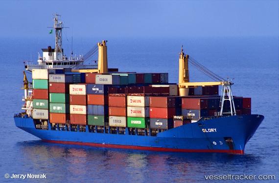
Vessel profile: NADIA is a Container Ship with dimensions 149m x 149m.
This page combines live AIS, route history, probable destination signals, nearby traffic, and port activity for practical vessel monitoring.
The current position of vessel NADIA is 16.65739 lat / 113.28023 lng. Updated: 2026-06-24 16:24:11 UTCNearest reference points:
- 215 nm NE of Tan Cang Qui Nhon
- 157 nm SE of Xincun
- 222 nm E of Tan Cang Qui Nhon
Currently sailing under the flag of St.Kitts and Nevis ![]()
NADIA built in 1997 year
Deadweight:
12583 tDetails:
Live Vessel NADIA Analytics (details, animations, etc.)
Recent AIS points (UTC):
2026-06-24 13:24:41 UTC · 16.15755, 113.09769 · SOG 10.5 kn · COG 20°2026-06-24 14:21:41 UTC · 16.31548, 113.15948 · SOG 10.4 kn · COG 21°
2026-06-24 16:11:11 UTC · 16.62042, 113.27398 · SOG 10.6 kn · COG 20°
2026-06-24 16:24:11 UTC · 16.65739, 113.28023 · SOG 10.3 kn · COG 359°