 vesseltracker.com
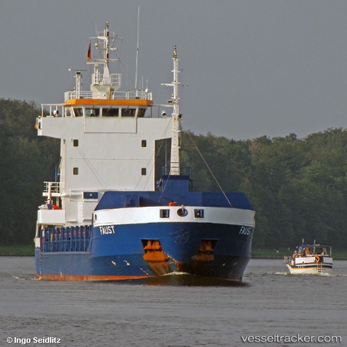
 Gulf West
Current Status
Where is the vessel?
Gulf West is currently in 29 nm SE of LINDOS, based on AIS data received about 14h ago.
Latest AIS update:
Current position: 35.68430° N, 28.40808° E (29 nm SE of LINDOS)
Average speed (last 7 days): Loading…
Average speed (last 30 days): Loading…
Vessel profile: Gulf West is a Deck Cargo Ship with dimensions 99m x 12m.
This page combines live AIS, route history, probable destination signals, nearby traffic, and port activity for practical vessel monitoring.
The current position of vessel Gulf West is 35.68430 lat / 28.40808 lng. Updated: 2026-05-18 04:11:30 UTCNearest reference points:
- Near Rhodes
- 18 nm E of Rhodes
- Near Kremasti
Currently sailing under the flag of Antigua Barbuda ![]()
Gulf West built in 1997 year
Deadweight:
4444 tDetails:
Live Vessel Gulf West Analytics (details, animations, etc.)
Recent AIS points (UTC):
2026-05-18 02:17:50 UTC · 35.76913, 28.05100 · SOG 9.4 kn · COG 103°2026-05-18 02:19:21 UTC · 35.76792, 28.05558 · SOG 9.4 kn · COG 104°
2026-05-18 03:54:13 UTC · 35.69934, 28.35202 · SOG 9.9 kn · COG 105°
2026-05-18 04:11:30 UTC · 35.68430, 28.40808 · SOG 10 kn · COG 106°