 vesseltracker.com
 CARLOW
Current Status
Where is the vessel?
CARLOW is currently in 16 nm E of Torre Cesarea, based on AIS data received about 1h ago.
Latest AIS update:
Current position: 40.03384° N, 18.80816° E (16 nm E of Torre Cesarea)
Average speed (last 7 days): Loading…
Average speed (last 30 days): Loading…
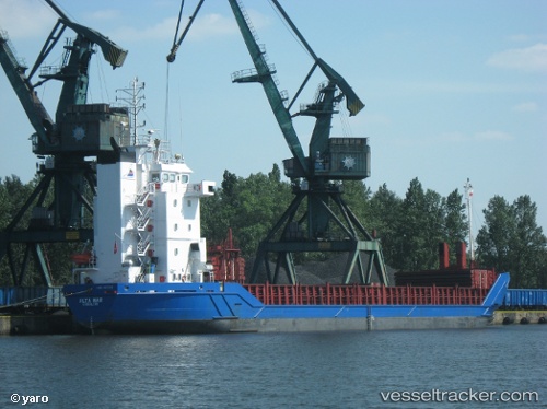
Vessel profile: CARLOW is a General Cargo Ship with dimensions 90m x 14m.
This page combines live AIS, route history, probable destination signals, nearby traffic, and port activity for practical vessel monitoring.
The current position of vessel CARLOW is 40.03384 lat / 18.80816 lng. Updated: 2026-05-15 07:35:11 UTCNearest reference points:
- 11 nm S of Leuca
- 20 nm S of Leuca
- 22 nm W of Fier
Currently sailing under the flag of Panama ![]()
CARLOW built in 1995 year
Deadweight:
4125 tDetails:
Live Vessel CARLOW Analytics (details, animations, etc.)
Recent AIS points (UTC):
2026-05-15 04:41:52 UTC · 40.50765, 18.40907 · SOG 12.2 kn · COG 135°2026-05-15 06:20:34 UTC · 40.23656, 18.65445 · SOG 11.7 kn · COG 148°
2026-05-15 07:05:03 UTC · 40.11447, 18.74792 · SOG 11.3 kn · COG 148°
2026-05-15 07:35:11 UTC · 40.03384, 18.80816 · SOG 10.6 kn · COG 148°