 vesseltracker.com
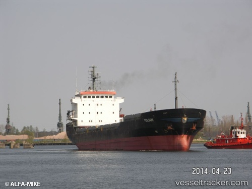
 Gabriela H
Current Status
Where is the vessel?
Gabriela H is currently in Near Iskenderun, based on AIS data received less than 1h ago.
Latest AIS update:
Current position: 36.60967° N, 36.14926° E (Near Iskenderun)
Average speed (last 7 days): Loading…
Average speed (last 30 days): Loading…
Vessel profile: Gabriela H is a Multi Purpose Carrier with dimensions 106m x 20m.
This page combines live AIS, route history, probable destination signals, nearby traffic, and port activity for practical vessel monitoring.
The current position of vessel Gabriela H is 36.60967 lat / 36.14926 lng. Updated: 2026-05-14 21:35:19 UTCNearest reference points:
- Near Iskenderun
- Near DORTYOL
- 13 nm W of Iskenderun
Currently sailing under the flag of Panama ![]()
Gabriela H built in 1998 year
Deadweight:
6790 tDetails:
Live Vessel Gabriela H Analytics (details, animations, etc.)
Recent AIS points (UTC):
2026-05-14 18:23:19 UTC · 36.60902, 36.14899 · SOG 0.1 kn · COG 229°2026-05-14 19:41:19 UTC · 36.60938, 36.14931 · SOG 0.2 kn · COG 231°
2026-05-14 19:47:18 UTC · 36.60927, 36.14920 · SOG 0.2 kn · COG 230°
2026-05-14 21:35:19 UTC · 36.60967, 36.14926 · SOG 0.3 kn · COG 228°