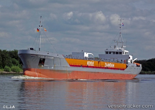
 Star Bonaire
Current Status
Where is the vessel?
Star Bonaire is currently in Near Erith, based on AIS data received about 20h ago.
Latest AIS update:
Current position: 51.48593° N, 0.20042° E (Near Erith)
Average speed (last 7 days): Loading…
Average speed (last 30 days): Loading…
Vessel profile: Star Bonaire is a Edible Oil Tanker with dimensions 90m x 12m.
This page combines live AIS, route history, probable destination signals, nearby traffic, and port activity for practical vessel monitoring.
The current position of vessel Star Bonaire is 51.48593 lat / 0.20042 lng. Updated: 2026-06-21 23:42:55 UTCNearest reference points:
- Near Blackheath/London
- Near Gravesend
- Near GILLINGHAM
Currently sailing under the flag of Netherlands ![]()
Star Bonaire built in 1997 year
Deadweight:
3400 tDetails:
Live Vessel Star Bonaire Analytics (details, animations, etc.)
Recent AIS points (UTC):
2026-06-21 23:42:55 UTC · 51.48593, 0.20042 · SOG 11.1 kn · COG 262°2026-06-21 23:42:55 UTC · 51.48593, 0.20042 · SOG 11.1 kn · COG 262°
2026-06-21 23:42:55 UTC · 51.48593, 0.20042 · SOG 11.1 kn · COG 262°
2026-06-21 23:42:55 UTC · 51.48593, 0.20042 · SOG 11.1 kn · COG 262°