 ANGELINA
Current Status
Where is the vessel?
ANGELINA is currently in Near Jiddah, based on AIS data received about 14d ago.
Latest AIS update:
Current position: 21.46204° N, 39.16565° E (Near Jiddah)
Average speed (last 7 days): Loading…
Average speed (last 30 days): Loading…
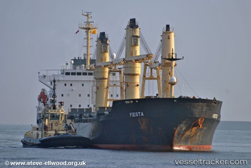
Vessel profile: ANGELINA is a General Cargo Ship with dimensions 181m x 26m.
This page combines live AIS, route history, probable destination signals, nearby traffic, and port activity for practical vessel monitoring.
The current position of vessel ANGELINA is 21.46204 lat / 39.16565 lng. Updated: 2026-05-06 10:38:32 UTCNearest reference points:
- Near Jeddah
- Near Tusdeer Free Zone
- 10 nm SW of Jeddah
Currently sailing under the flag of St.Kitts and Nevis ![]()
ANGELINA built in 1997 year
Deadweight:
29519 tDetails:
Live Vessel ANGELINA Analytics (details, animations, etc.)
Recent AIS points (UTC):
2026-05-06 10:38:32 UTC · 21.46204, 39.16565 · SOG 0 kn · COG 171°