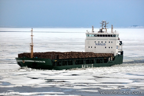
 TORNEDALEN
Current Status
Where is the vessel?
TORNEDALEN is currently in 21 nm E of Linanäs, based on AIS data received about 14h ago.
Latest AIS update:
Current position: 59.69900° N, 19.80091° E (21 nm E of Linanäs)
Average speed (last 7 days): Loading…
Average speed (last 30 days): Loading…
Vessel profile: TORNEDALEN is a General Cargo Ship with dimensions 100m x 16m.
This page combines live AIS, route history, probable destination signals, nearby traffic, and port activity for practical vessel monitoring.
The current position of vessel TORNEDALEN is 59.69900 lat / 19.80091 lng. Updated: 2026-05-19 13:36:27 UTCNearest reference points:
- Near MARIEHAMN
- Near Maarianhamina (Mariehamn)
- Near RAVSNAS
Currently sailing under the flag of Portugal (MAR) ![]()
TORNEDALEN built in 2000 year
Deadweight:
5572 tDetails:
Live Vessel TORNEDALEN Analytics (details, animations, etc.)
Recent AIS points (UTC):
2026-05-19 10:27:27 UTC · 60.15409, 19.06466 · SOG 11.2 kn · COG 139°2026-05-19 12:01:36 UTC · 59.92548, 19.42654 · SOG 11.4 kn · COG 140°
2026-05-19 13:10:27 UTC · 59.75914, 19.69348 · SOG 11.1 kn · COG 137°
2026-05-19 13:36:27 UTC · 59.69900, 19.80091 · SOG 11.3 kn · COG 135°