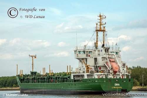
Dina
Current StatusWhere is the vessel?
Dina is currently in Near Herøya, based on AIS data received about 15h ago.
Latest AIS update:
Current position: 59.09790° N, 9.61508° E (Near Herøya)
Average speed (last 7 days): Loading…
Average speed (last 30 days): Loading…
Vessel profile: Dina is a Multi Purpose Carrier with dimensions 16m x 100m.
This page combines live AIS, route history, probable destination signals, nearby traffic, and port activity for practical vessel monitoring.
The current position of vessel Dina is 59.09790 lat / 9.61508 lng. Updated: 2026-07-03 04:10:31 UTCNearest reference points:
- Near Rønningen
- Near Thorøya
- Near SANDEFJORD
Details:
Live Vessel Dina Analytics (details, animations, etc.)
Recent AIS points (UTC):
2026-07-03 01:05:59 UTC · 58.82124, 9.64025 · SOG 5.5 kn · COG 42°2026-07-03 01:45:01 UTC · 58.86283, 9.71730 · SOG 5.1 kn · COG 50°
2026-07-03 03:51:00 UTC · 59.06251, 9.65229 · SOG 8.5 kn · COG 338°
2026-07-03 04:10:31 UTC · 59.09790, 9.61508 · SOG 7.8 kn · COG 309°